How to Determine the Physical Boundaries of a Property in Argentina
Learn how to verify property boundaries in Argentina before buying. Understand the role of blueprints, cadastral records, and the local Registro de Catastro in confirming land limits and legal ownership.
REAL ESTATEINVESTMENTSPROPERTIES
4/11/20253 min read
When buying property in Argentina—whether it’s a home, a lot, or rural land—understanding its physical boundaries is essential. Unlike some countries where land demarcation is standardized and digitalized, Argentina’s property boundary system involves both blueprints and cadastral records, handled at the provincial level.
Here’s what you need to know to verify what you’re buying, avoid future disputes, and ensure everything matches up legally.
1. The Importance of Verifying Property Boundaries
Knowing exactly where a property begins and ends is not just a technicality—it’s key to:
Confirming you're buying what’s actually being offered.
Avoiding boundary disputes with neighbors.
Ensuring construction respects zoning regulations.
Making sure the deed (escritura) matches the land you’re shown.
Whether urban or rural, boundaries are typically documented through a combination of official blueprints, cadastral surveys, and property deeds.
2. The Role of the Blueprints (Planos or Planos de Mensura)
When purchasing a house, apartment, or building in Argentina, there should be official blueprints on file that detail:
The size and layout of the building.
The position of walls, divisions, patios, and open areas.
Total square meters (covered and uncovered).
In many cases, even plumbing and electrical layouts.
These blueprints are often required for building permits and should have been approved and registered by the local municipality at the time of construction or modification.
🔎 Ask to see the approved planos before signing any purchase agreement. If the construction differs from what's registered (a common issue), that could cause problems down the line.
3. What Is the Registro de Catastro?
The Registro de Catastro (Cadastral Office) is the government entity responsible for mapping and registering land parcels, including their shape, size, location, and usage.
Each province in Argentina has its own Cadastral Office, meaning property boundaries and surveys are managed locally, not federally.
The Cadastral Office assigns each parcel a unique código catastral, which identifies the land in public records.
These offices keep records of property boundaries, land measurements, plot numbers, and sometimes zoning data.
When you're buying property, you (or your lawyer/notary) should request the cadastral certificate to confirm:
The land dimensions and shape.
That the property is correctly registered and up to date.
That it matches the deed and the seller’s claims.
4. How to Access Cadastral and Blueprint Information
Here’s how to go about it:

Do you need help with your real estate in Argentina? We’re here to help! Contact us with any questions — we’ll gladly provide the answers you need
✅ Step 1: Visit or Contact the Local Catastro Office
You’ll need to know the location of the property to reach the correct provincial office. For example:
Buenos Aires Province: Dirección Provincial de Catastro Territorial
Córdoba: Dirección General de Catastro
Mendoza: Dirección de Catastro Territorial
And so on…
These offices often allow in-person consultations and may provide online portals where you can check land maps or request documents.
✅ Step 2: Request the Plano de Mensura
This is a survey map that marks the boundaries and exact measurements of the lot. It is usually issued by a registered surveyor (agrimensor) and must be filed with the Cadastral Office.
✅ Step 3: Compare with the Escritura
Make sure the title deed (escritura) describes the property the same way it appears in the cadastral records and blueprints. Any mismatch should be investigated before proceeding.
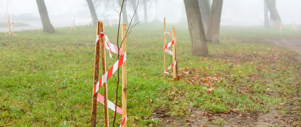
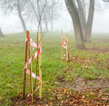
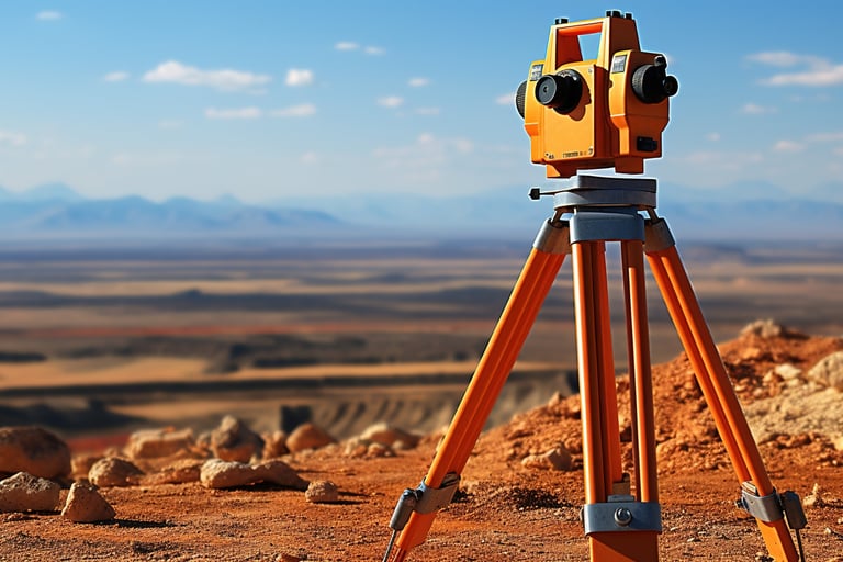
5. When to Hire a Surveyor (Agrimensor)
In rural areas or when boundaries are unclear, it may be smart to hire a licensed land surveyor to:
Verify property limits.
Place physical boundary markers.
Identify discrepancies between the actual land and what’s registered.
A professional survey is especially important for large tracts of land, agricultural fields, or any property without visible or fenced limits.
Final Thoughts
Determining property boundaries in Argentina requires a little extra legwork, especially since cadastral and blueprint systems are decentralized. But doing your due diligence now can save you from legal headaches or financial loss later.
Always verify that:
The Plano de Mensura exists and matches the property.
The land is properly registered in the Registro de Catastro.
The title deed reflects the same boundaries.
Any constructions on the property are documented and approved.
When in doubt, work with a trusted notary and surveyor to ensure what’s on paper matches reality.
Explore more posts like this in our Argentina Real Estate category
Know Argentina
Discover diverse insights about Argentina's rich culture.
Connect
stay in the loop
info@knowargentina.com
© 2025. All rights reserved.