The ABCs of Argentina
Argentina is a country of striking contrasts and rich diversity, stretching from the tropics in the north to the icy landscapes of Patagonia in the south. This section offers a quick overview of Argentina’s geography, climate, and essential resources to help you better understand the land, its natural features, and what makes it unique. Whether you're planning a visit, doing research, or simply curious, these facts provide a solid foundation for exploring Argentina in depth.
TOPICS ON THIS PAGE


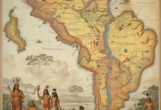

Argentina's Geography
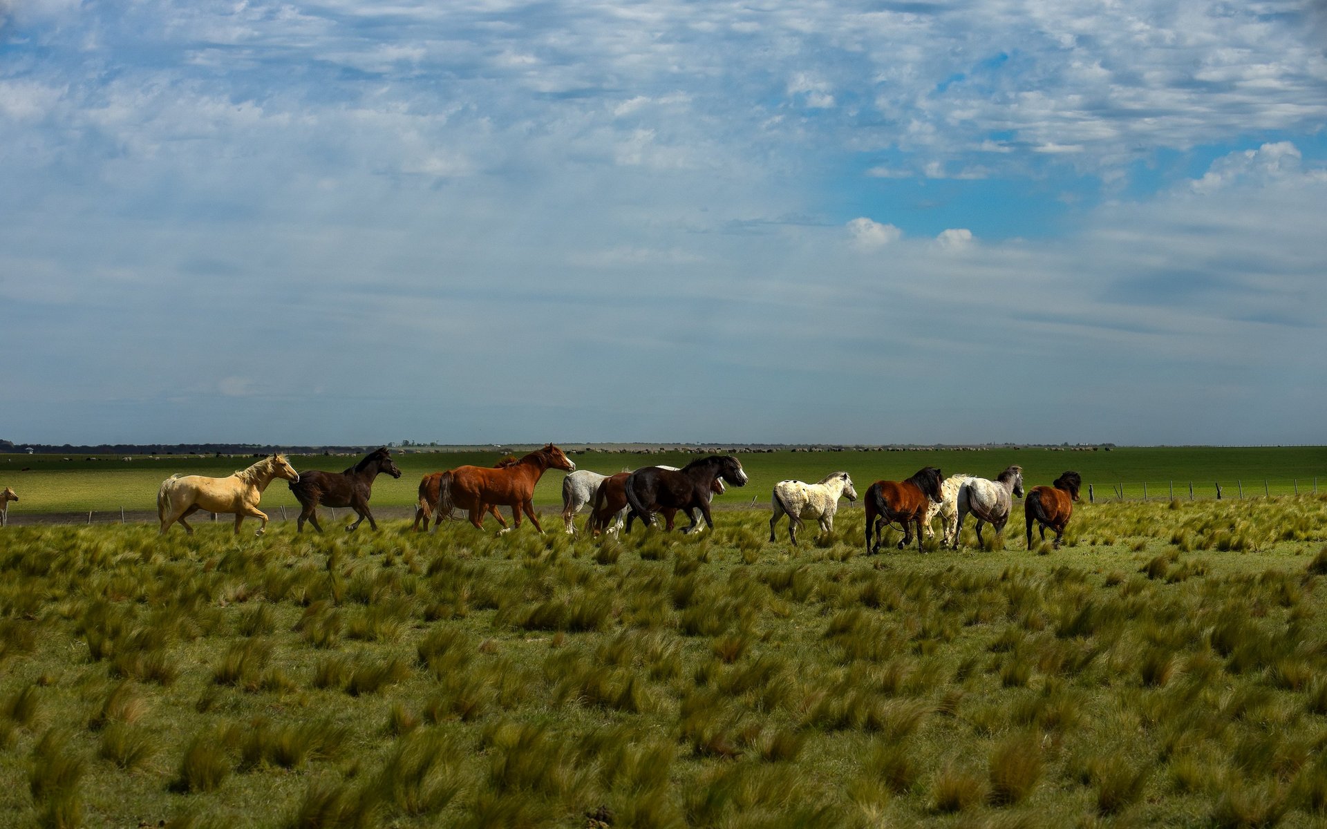
Argentina is the eighth-largest country in the world, and its geography is as bold and varied as its culture—featuring the continent’s highest peak and some of its most breathtaking landscapes.
Argentina, located in the southern part of South America, covers a vast area of 2,780,400 km² (1,073,518 sq mi). To put that into perspective, it’s roughly the size of India or five times larger than France.
In all, Argentina spans an impressive 3,694 km (2,295 mi) from north to south—about the same as traveling from Oslo to Cairo—and 1,423 km (884 mi) from east to west, wide enough to fit the entire width of Texas with room to spare.
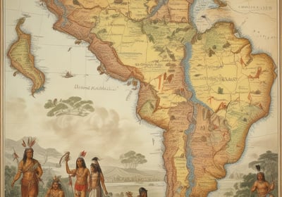
It shares its western border with Chile, which stretches along the towering Andes Mountains. To the north, it borders Bolivia and Paraguay, with Brazil to the northeast and Uruguay to the east. Its eastern edge is lined by the South Atlantic Ocean, and to the south lies the legendary Drake Passage—a notoriously wild stretch of sea that separates South America from Antarctica, known for its powerful winds and dramatic waves that test the courage of even the most seasoned sailors.
Argentina’s land borders total 9,376 km (5,826 mi), while its coastline along the South Atlantic and the Río de la Plata measures 5,117 km (3,180 mi)—long enough to stretch from New York to Los Angeles and back.
Highs and Lows
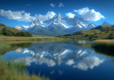
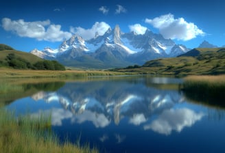
Argentina is a land of breathtaking extremes. Its highest point is Mount Aconcagua, soaring to 6,959 meters (22,831 feet) above sea level in the province of Mendoza. This towering giant isn’t just the tallest mountain in Argentina—it holds the crown for the entire Southern and Western Hemispheres. To give a sense of scale, Aconcagua is nearly twice the height of Japan’s Mount Fuji and even taller than any peak in Europe outside the Caucasus. Many climbers who reach its summit speak of a strange, dizzying silence—a kind of awe that settles in above the clouds, where even the wind seems to whisper.

On the other end of the spectrum, Argentina also boasts one of the lowest points on Earth: Laguna del Carbón. Nestled in the San Julián Great Depression in Santa Cruz province, it lies 105 meters (344 feet) below sea level. That’s lower than Death Valley in California and makes it the deepest natural depression in both the Southern and Western Hemispheres—and the seventh-lowest point worldwide.
Its northern tip lies where the Grande de San Juan and Mojinete rivers meet in Jujuy province, near the sun-drenched borders of Bolivia. From there, the country stretches all the way down to Cape San Pío in Tierra del Fuego—the southernmost point of mainland Argentina—where icy winds sweep in from the southern oceans and the land feels like the edge of the world.
To the east, near the lush, subtropical forests of Bernardo de Irigoyen in Misiones province, Argentina brushes against the borders of Brazil. Its westernmost point, tucked away in the majestic Los Glaciares National Park in Santa Cruz, is home to towering ice fields and jagged peaks that seem carved by ancient giants.
Argentina’s Lifelines: Rivers, Currents, and the Sea
Argentina is a land braided with mighty rivers, each carving its own path across the landscape. Among the most important are the Paraná and Uruguay rivers, which come together to form the iconic Río de la Plata—a vast estuary that opens like a silver fan into the Atlantic. Other key waterways include the Paraguay, Salado, Negro, Santa Cruz, Pilcomayo, Bermejo, and Colorado rivers, each flowing toward the Argentine Sea, a shallow stretch of the Atlantic Ocean that rests atop the expansive Patagonian Shelf—one of the widest continental platforms on Earth.
This marine region is anything but ordinary. Its rich and dynamic ecosystem is shaped by two powerful ocean currents: the warm, tropical waters of the Brazil Current sweeping in from the north, and the icy embrace of the Falklands (Malvinas) Current drifting up from the south. Where these currents meet, they stir the sea into a nutrient-rich blend that supports a vibrant array of marine life—from anchovies and squid to penguins and southern right whales.
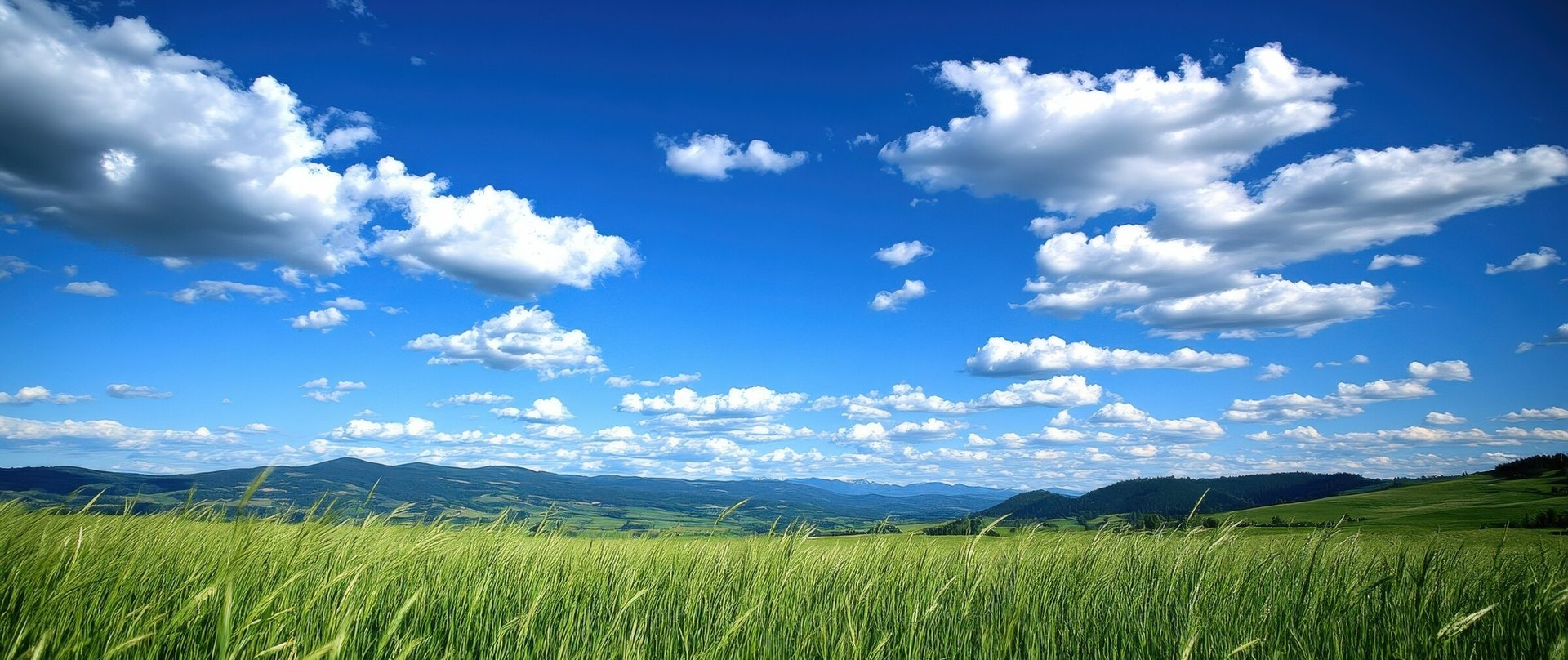
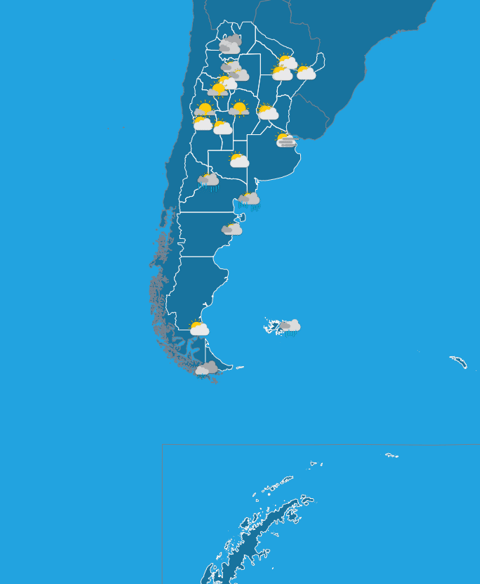
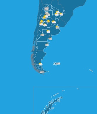
Argentina's Climate
Stretching across a vast range of latitudes and altitudes, Argentina’s climate is as diverse as its terrain—from tropical heat in the north and temperate plains in the center to icy winds and snowfall in the southern Andes. Whether it’s sun-soaked vineyards or Patagonian glaciers, the weather here is full of contrasts.
Argentina encompasses four primary climate types—warm humid subtropical, moderate humid subtropical, arid, and cold—shaped by its vast latitudinal range, varied altitudes, and diverse topographical features.
While much of the country’s densely populated regions, such as the Pampas and parts of the north, experience temperate conditions, Argentina exhibits remarkable climatic diversity. This ranges from the subtropical heat and humidity of the northern provinces to the polar conditions found at the southernmost tip of the continent.
As a result of this variation, Argentina supports a rich mosaic of biomes. These include lush subtropical rainforests in the northeast, such as the Misiones region; semi-arid and arid deserts in the northwest and central-west; the fertile temperate grasslands of the Pampas; and cold, windswept subantarctic landscapes in southern Patagonia and Tierra del Fuego.
Annual precipitation varies significantly across the country—from as little as 150 millimetres (6 inches) in the driest parts of Patagonia to over 2,000 millimetres (79 inches) in the rainiest regions of the northeast and parts of western Patagonia. Similarly, average annual temperatures range from around 5 °C (41 °F) in the far south to about 25 °C (77 °F) in the far north.
Argentina's diverse weather patterns are also heavily influenced by distinct wind systems. The Pampero, a cool, dry wind, sweeps across the plains of Patagonia and the Pampas following the passage of cold fronts, often clearing the skies and dropping temperatures. In contrast, warmer northerly winds can bring mild spells during the middle and late winter months.
The Sudestada, prevalent in late autumn and winter, brings strong southeastern winds, heavy rainfall, rough seas, and coastal flooding, especially along the central coastline and the Río de la Plata estuary.
In the west, particularly in the Cuyo region and central Pampas, the Zonda wind plays a dramatic role in regional weather. Originating in the Andes, the Zonda descends over 6,000 meters (nearly 20,000 feet), becoming hot and dry as it loses moisture. These gusty winds—reaching speeds of up to 120 km/h (75 mph)—can persist for hours, raising dust, triggering wildfires, and causing property damage. Between June and November, while the Zonda affects lower elevations, snowstorms and whiteout conditions known as viento blanco often strike the high Andes.
Planning a Trip or Moving to Argentina? We’re Here to Help!
History of Argentina
Explore the rich history of Argentina — from its indigenous roots and colonial past to its journey towards independence and modern-day culture, uncovering key moments that shaped the nation.
Discover new topics in the editorial repository of Know Argentina
Know Argentina
Discover diverse insights about Argentina's rich culture.
Connect
Learn
info@knowargentina.com
© 2025. All rights reserved.